
Can We Go There? The Role Interactive Digital Maps Will Play As We Slowly Emerge from the Lockdown!
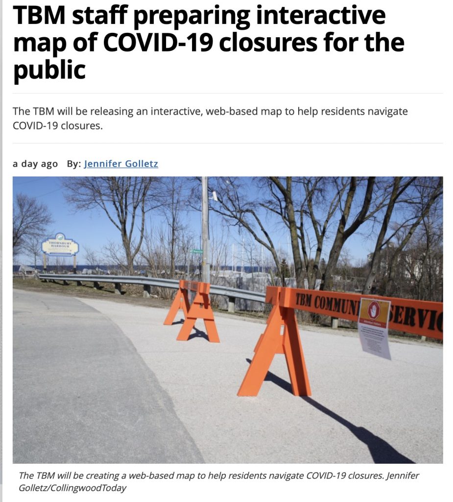
Earlier this week, our attention was drawn to a news story in a local publication near the shores of Georgian Bay, Ontario, for a small community known as the Town of the Blue Mountains.
It’s pretty clear that many communities might soon begin the slow, deliberate and careful process of emerging from a full or partial lockdown, into a partial or staggered release of a lockdown – whatever that might mean.
And reading the article, it confirms stories that have appeared in many local communities as of late – people are confused about where they are allowed to go. At the same time community government, recreation and parks and conservation authorities have been less than clear as to what is possible and what is not in terms of walking, jogging, cycling and more.
The result is a situation in which citizens are increasingly seeking clarity at the same time that municipalities are realizing a need to better provide that clarity.
Hence, digital maps!
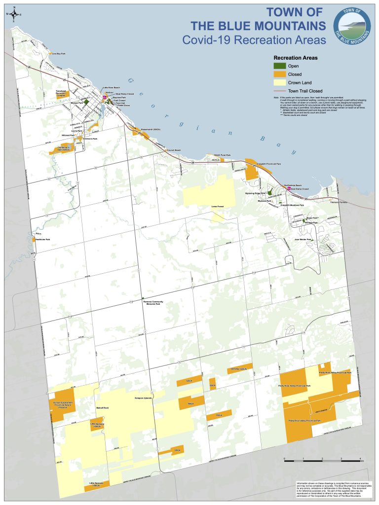
As we were writing this article we did a check on the Town of Blue Mountains website and within this morning they had already released the map showing what is open and closed within their community.
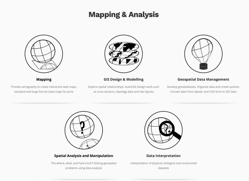
While we focus quite a bit on drone technology at LI&D, we also have extensive digital mapping expertise and experience. You’ll find a short overview of that aspect of our service offering under the Mapping and Analysis section of our Web site.
We know that many large and medium sized municipalities have digital mapping capabilities on their staff — they have been busy making an investment in this area over the last decade to manage infrastructure projects, building permits and more.
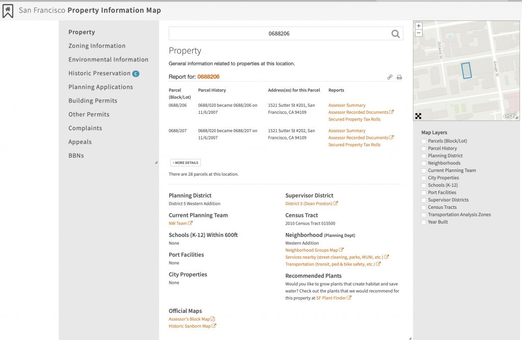
For example, the City of San Francisco has a fairly sophisticated property management application using the gold standard of digital mapping from ESRI:
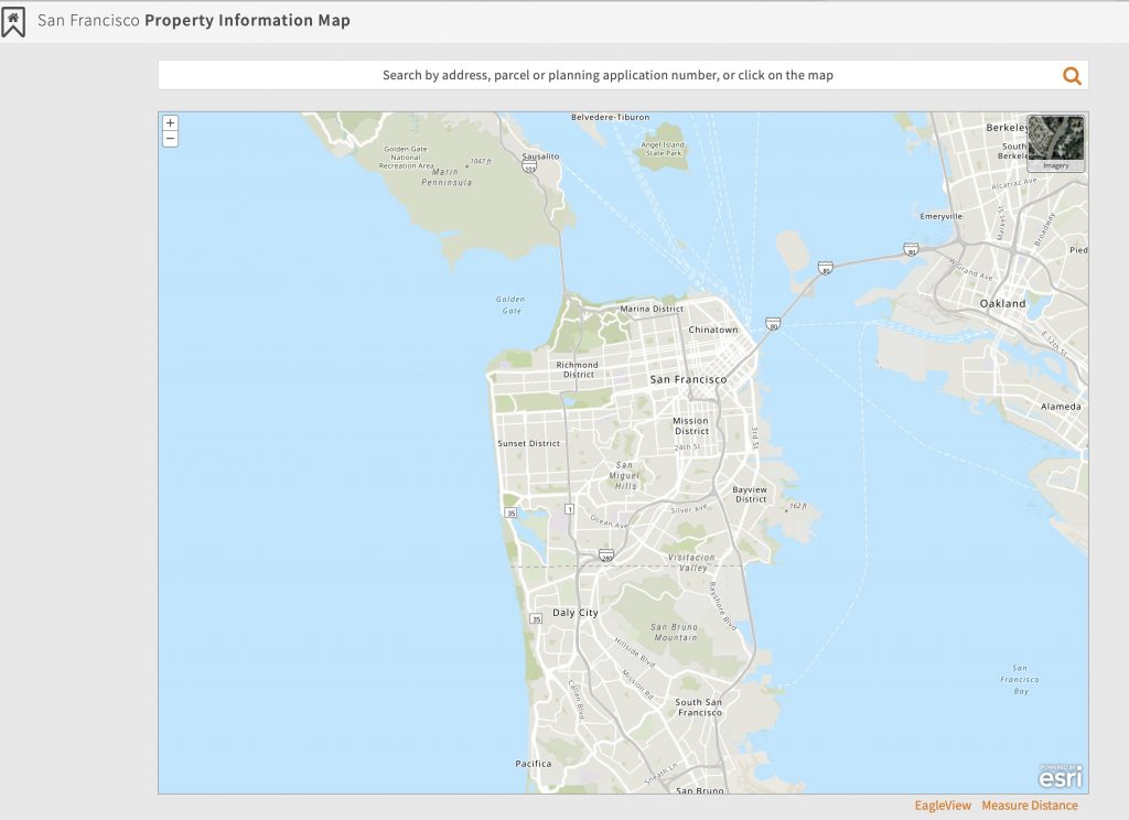
Drill down on the map, and you can quickly access public information on particular properties.
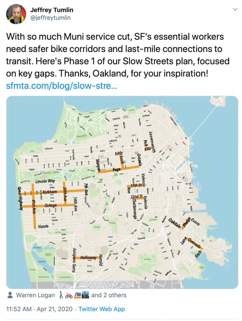
In addition, San Francisco is now working on implementing several phases to make safer bike corridors and last-mile connections to transit for its essential workers. These phases San Francisco will implement within the coming days and will show the routes available to pedestrians on maps on its website.
Some municipalities have already started to utilize these capabilities to provide citizens guidance with respect to COVID-19, lockdowns and permissible activities.
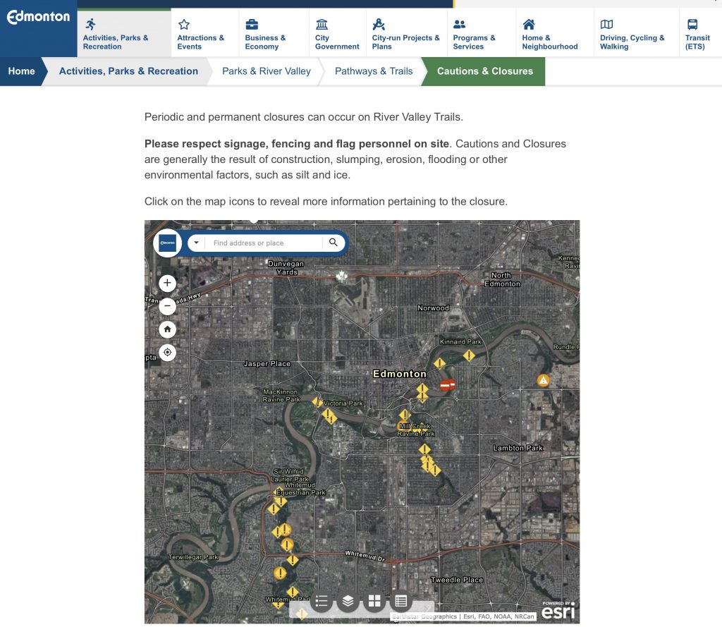
For example, the City of Edmonton features a page with respect to closures and activities within its park system:
We suspect that the news article from the Town of the Blue Mountains is an indication that other municipalities will feel similar pressure for digital mapping insight. Many organizations such as this will already have these digital mapping capabilities on staff and will quickly be able to pursue an innovative project in this regard.
And yet, some others might not.
If that is the case, we here at LI&D can quickly walk you through what’s possible, how to accomplish it, keep the maps up to date, and utilize this information for community outreach.
Because it’s better to get ahead of the demands of your citizens than to let them get ahead of you!

Comments are closed.