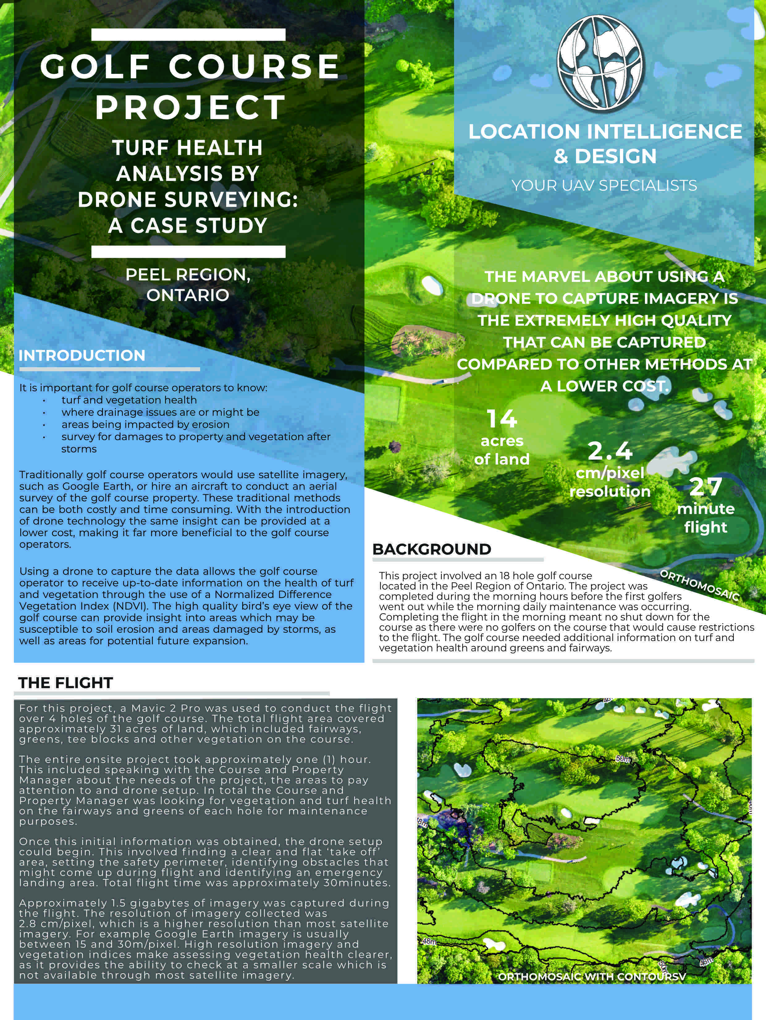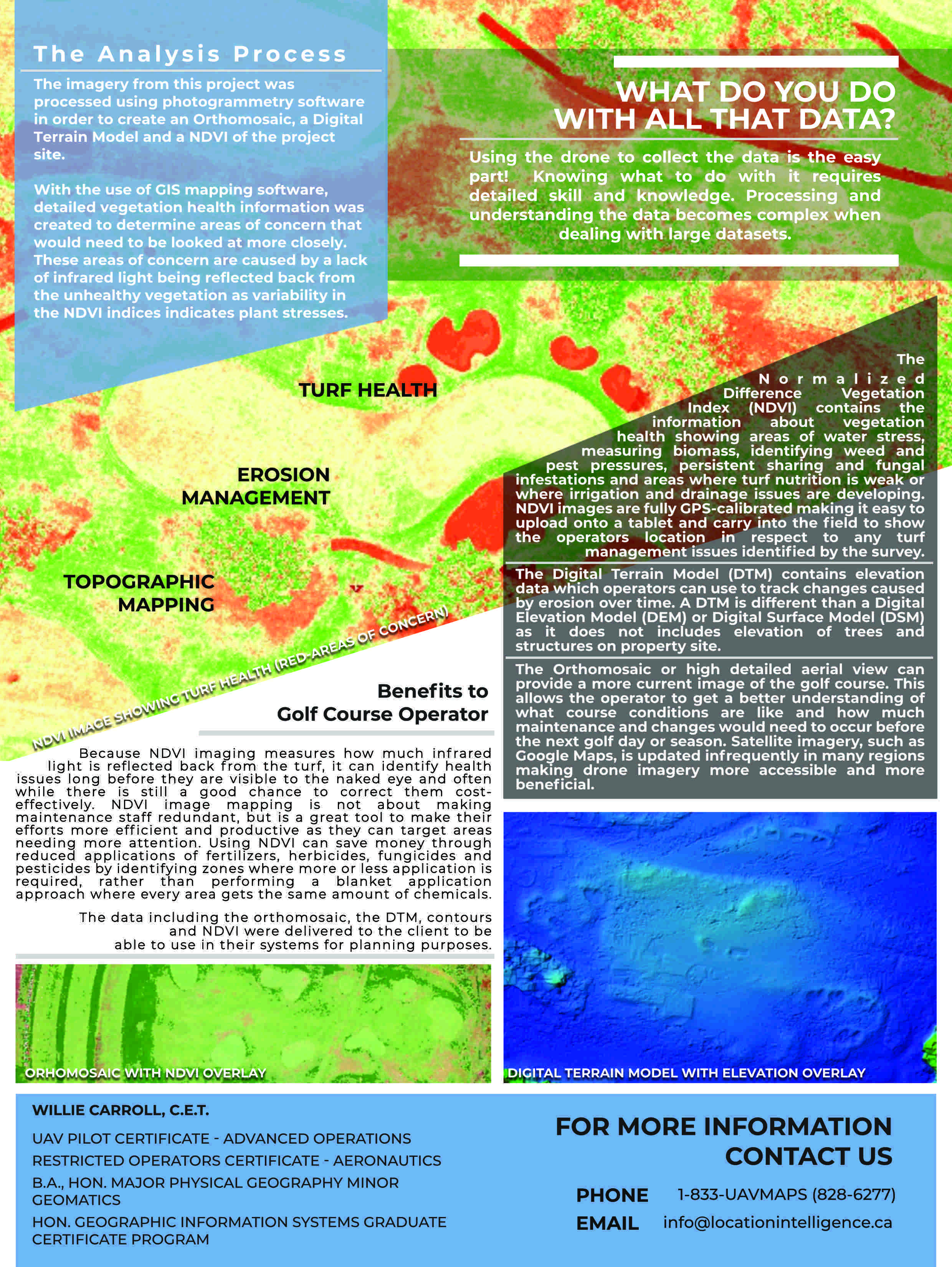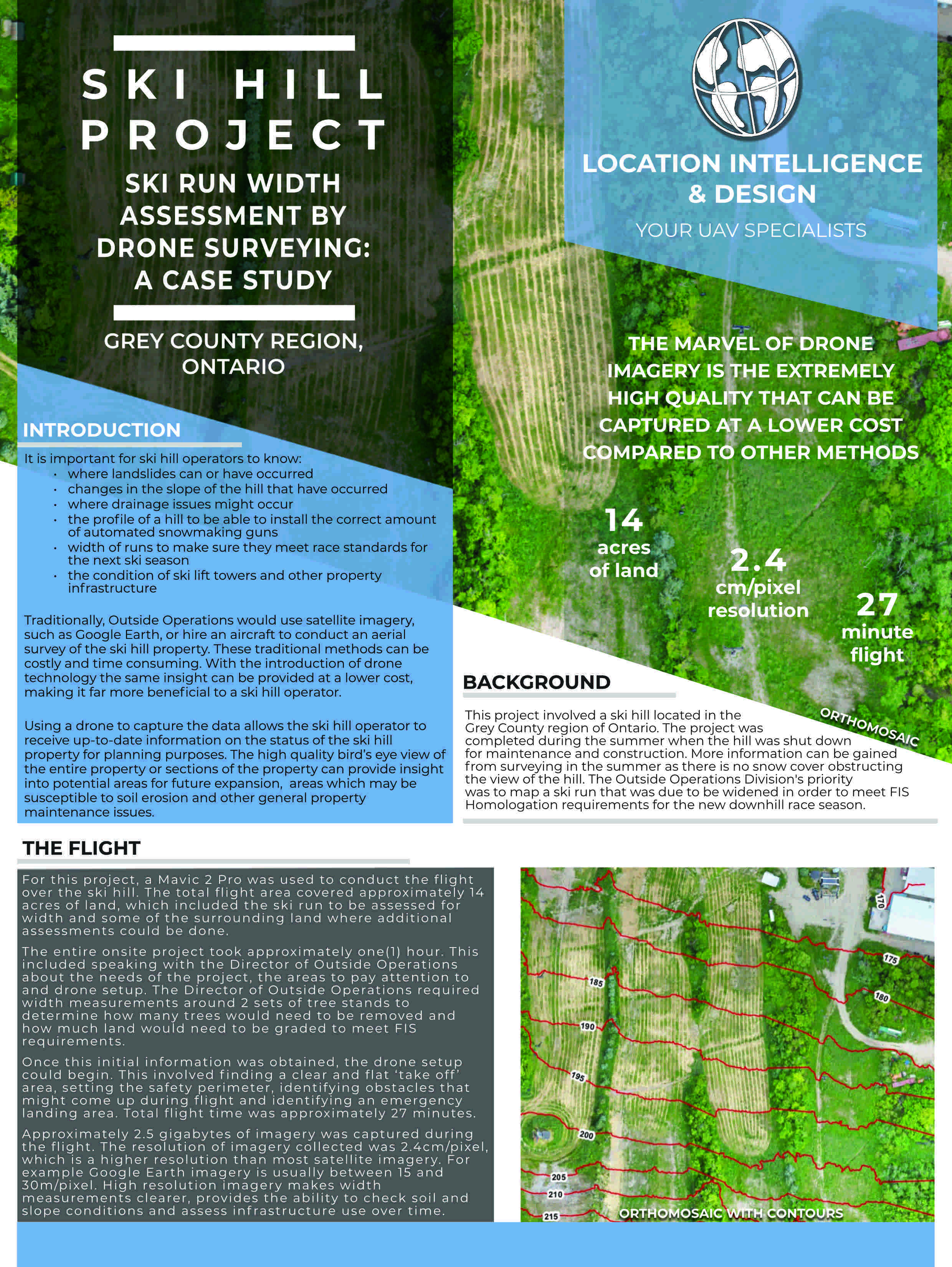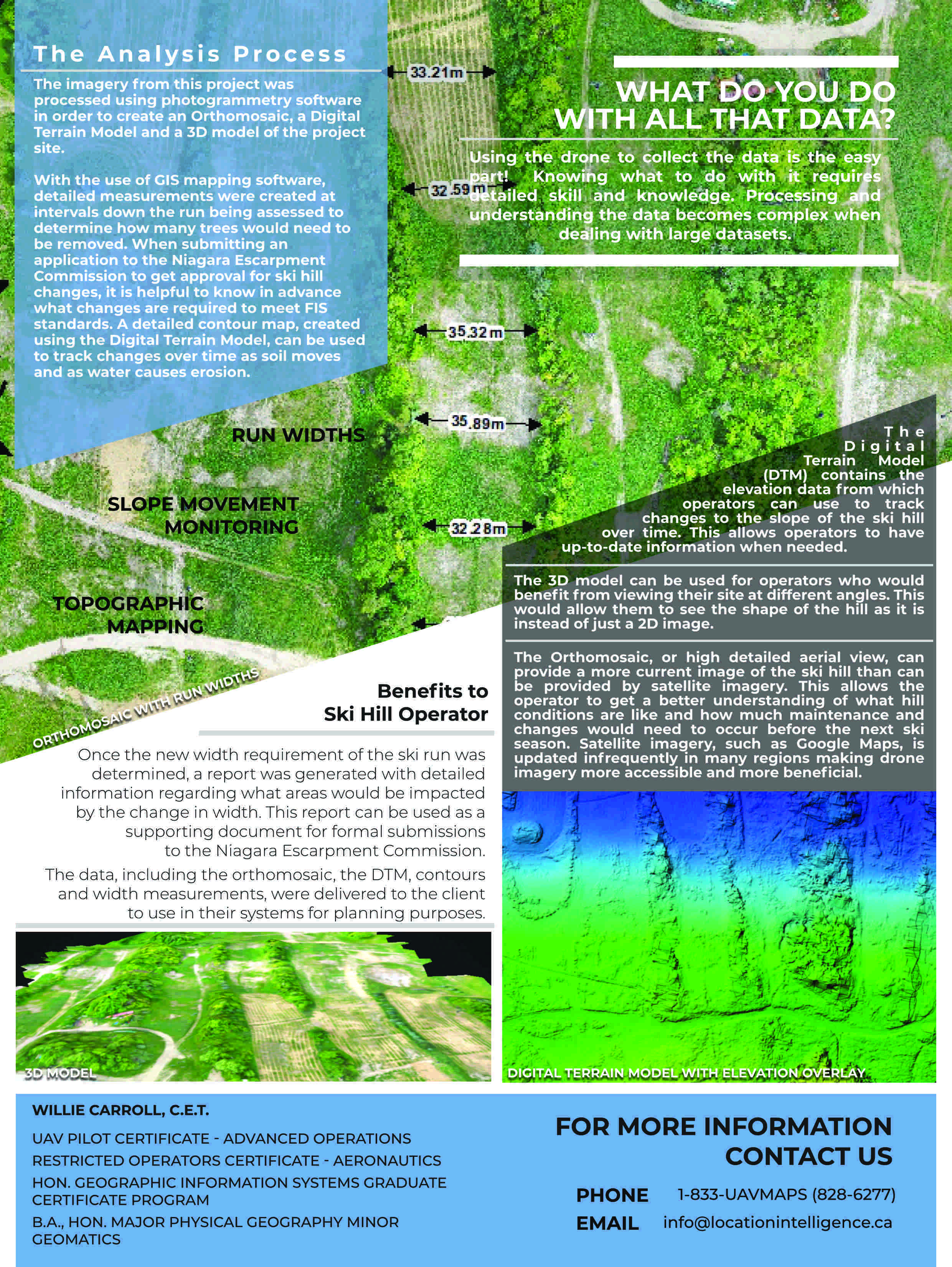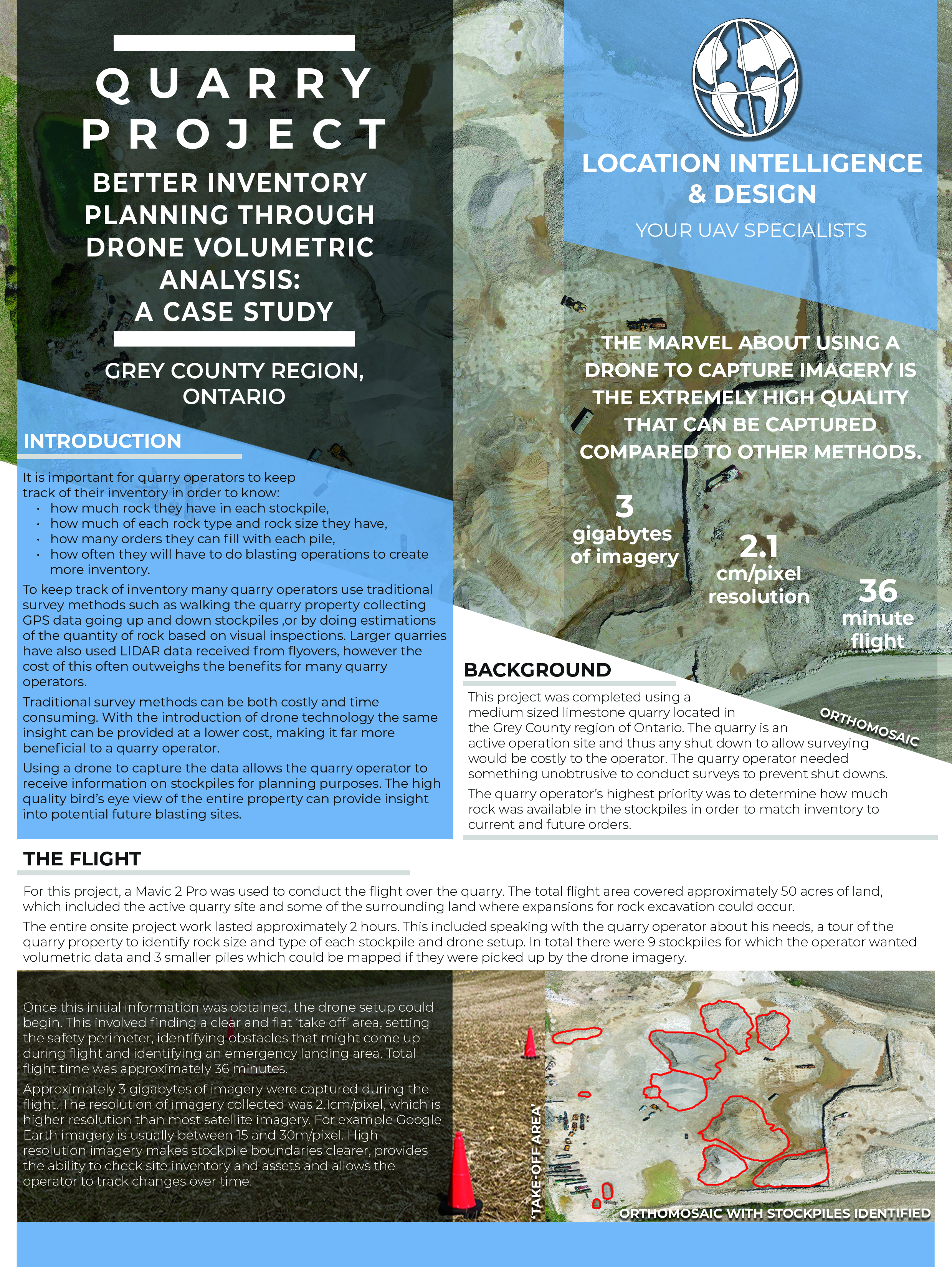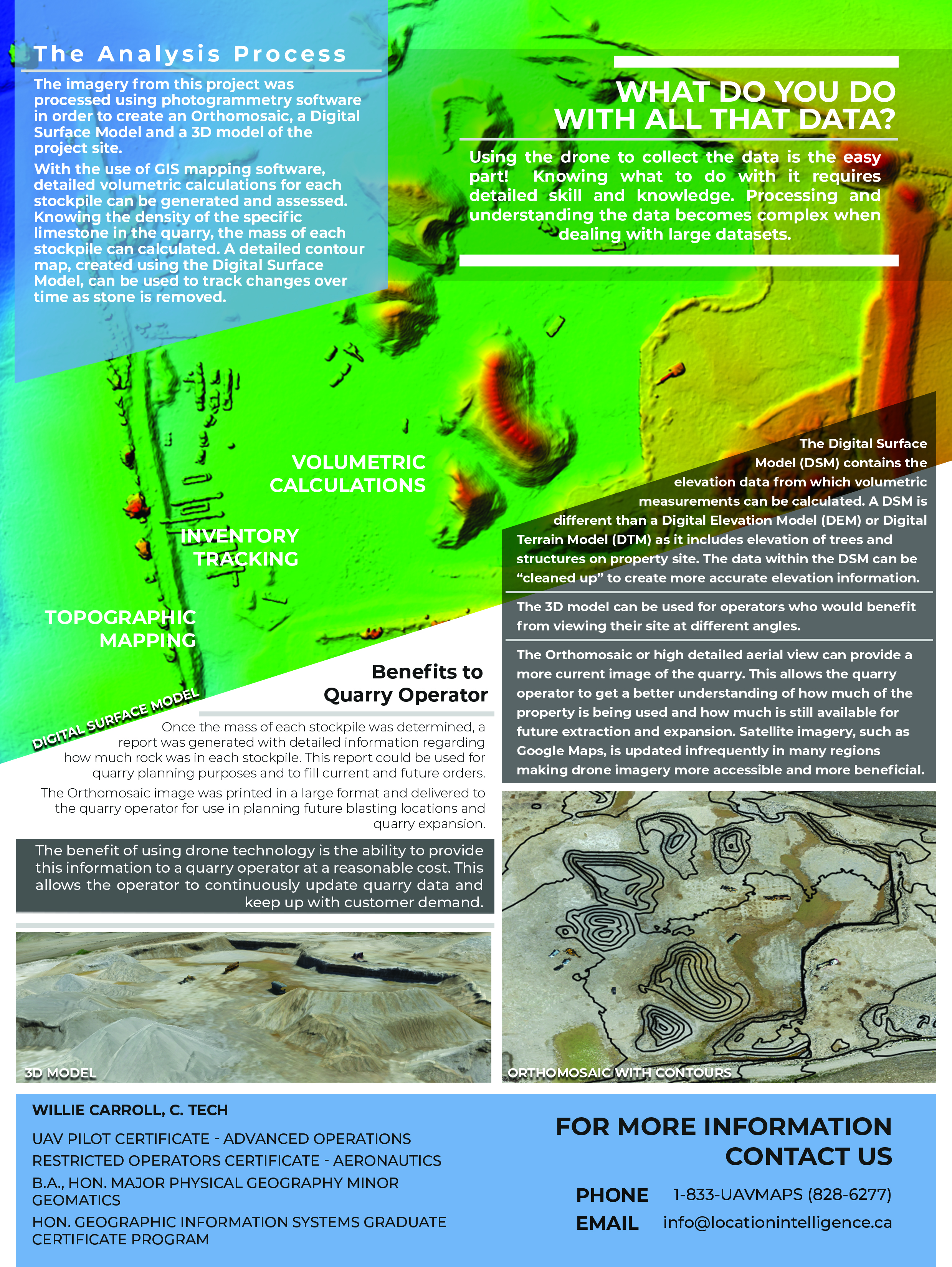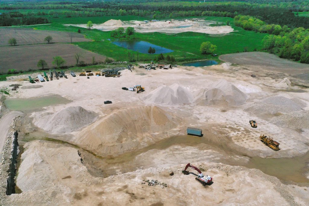
A drone flyover with the generation of a large scale orthomosaic map allows us to provide you with details on the tonnage of rock or other material within the stockpiles, no matter the size.
Currently browsing: General
The hardest part of starting up is starting out.

Sneak Video Peak – Drone Services at LI&D – More Than You Can Imagine!
At LI&D, we offer a wide variety of drone mapping, video and photography services to a lot of different industries – construction, aggregates and mining, golf courses and farms.

Drones & Utilities: Inspections, Safety, Risk Assessment and More
In the world of electrical, hydro and nuclear energy generation, water utilities and other organizations there is a widespread recognition that the insight gained from drone technology can play a vital role in several key areas.