
Tracking the Coronavirus via GIS – The Power of Map Based Insight for Epidemic & Disaster Management
The world is warily watching the rapid emergence of a new global health risk in Wuhan and other Chinese cities. For up to date information, you can visit the Wuhan Coronavirus case map:
The map is being update in real time as new cases emerge.
Why do we post this? There are two key issues at work here:
First, this is a good example of the power of visual, map based information to track emerging health risks. The same technology is increasingly being used for epidemic & disaster response, management and tracking. The recent Australian wildfire situation had numerous GIS maps being utilized to track the spreading of the fire risk, as well as tools to actively manage and counter that risk.

The second key point is that both of these maps were built using ArcGIS – the most popular and predominant GIS mapping tool.
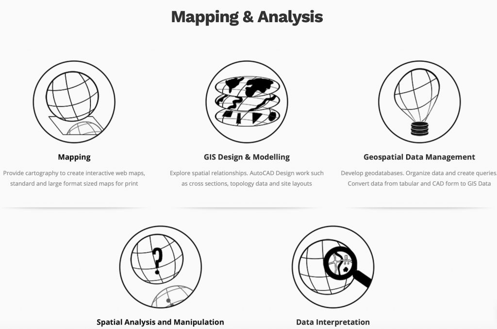
At Location Intelligence and Design, we are skilled at using ArcGIS – it’s a key component of the Mapping and Analysis service that we offer:
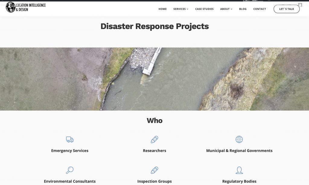
In addition, we would encourage you to take a look at Disaster Response section of our Commercial Drone Services page.
Combine the two capabilities – detailed GIS analysis and drone insight – and you have a powerful tool to help to manage and analyze fast emerging risks in a wide variety of industries.
Comments are closed.