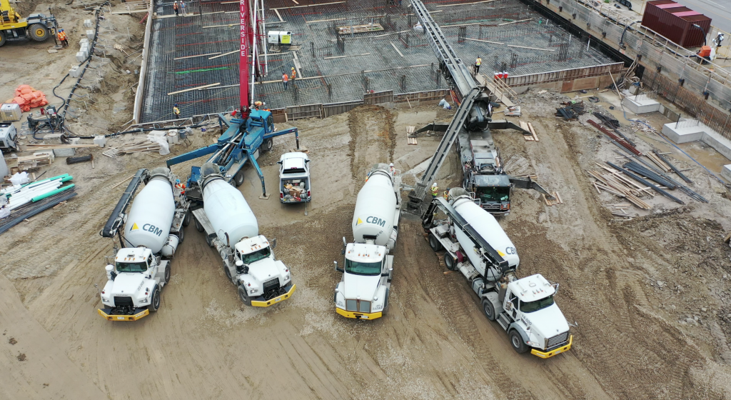
Drones sometimes have the ability to go places where you cannot go. This allows for insight to be gained that would not normally be available.
Currently browsing: Mapping
The hardest part of starting up is starting out.
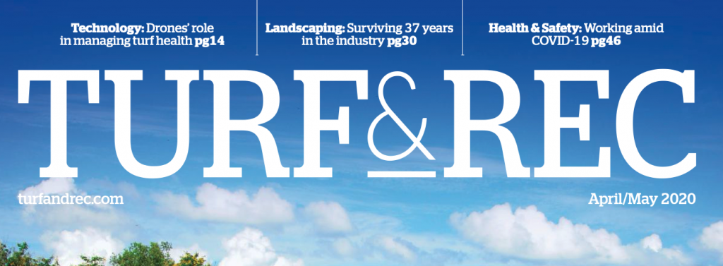
Turf & Rec Publishes Our Article: “Drones & Turf: Monitoring Health of Green Spaces”
“Drones & Turf: Monitoring Health of Green Spaces.” We have been featured in the Turf and Rec publication, which serves the Canadian turf and grounds maintenance industry.
Flight Planning 101: Anticipating Pushback!
What do we do for every flight that we conduct? We create site and safety plans, file for airspace authorization, if needed, and plan how we are going to execute our flight.
“Wow, I Didn’t Know I Could Do That!” – Discovering the Potential for Drone-Based Insight With the Software Platforms You Already Have in Place!
There are many who don’t realize how beneficial a drone can be when incorporated into their projects. There is the ability to incorporate drone data into many leading platforms, such as those used for project management.

Followup: Physical Distancing and the Benefit of Drone Technology
The new roles that drones are playing within companies during these exceptional times are showing themselves every day.

Can We Go There? The Role Interactive Digital Maps Will Play As We Slowly Emerge from the Lockdown!
Digital maps are quickly becoming the way to get information quickly to the public. During these time of COVID-19, they can quickly show what’s open, what’s closed and what it is that people can do.

Drone Flyovers: An Essential Service?
Luckily in our line of work, the requirement for physical distancing is not normally an issue. Most of our work involves being in remote locations. Find out how we are assisting with essential services during these times of uncertainty.

Insight From Altitude – Check our Industry Overview Playlist!
Summing up our 10 industries in 10 days. We showcase the industry sectors we serve and how we can help with your projects.
Mapping and Insight from Altitude : 10 Industries in 10 Days – What You See, What We See!
We would be lost without maps. We rely heavily on location intelligence, from our smart phones to our car’s, that we are continuing to see the evolution of new technology in the mapping industry.
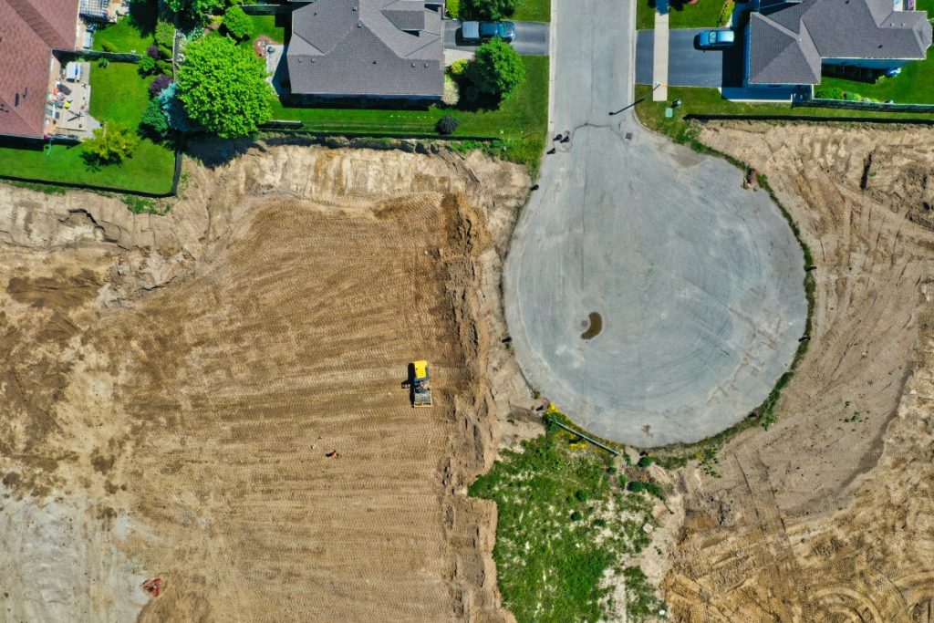
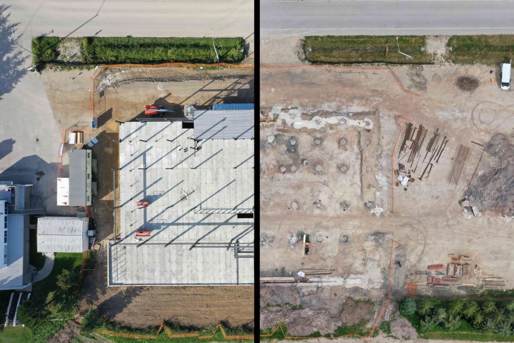
Urban Planning and Land Development Assessment from Altitude : 10 Industries in 10 Days – What You See, What We See!
Key information for land development for subdivisions is not about having too much information, it’s about having the right information at the right time.